Project: CROPS4HD Phase II
Location: Lindi and Mtwara Regions, Tanzania (Lindi Municipal Council, Mtama DC, Mtwara DC, Masasi DC, and Nanyumbu DC)
1.0 Background
The CROPS4HD II Project (Consumption of Resilient Orphan Crops for Products for Healthier Diets – Agrobiodiversity for
Improved Food Security and Nutrition) aims to improve the livelihoods, food security, and nutrition of rural communities—
especially women—through the sustainable use and conservation of farmers’ varieties and neglected and underutilized species
(NUS). The project promotes agroecological approaches that strengthen climate resilience while ensuring diversified and
sustainable food systems.
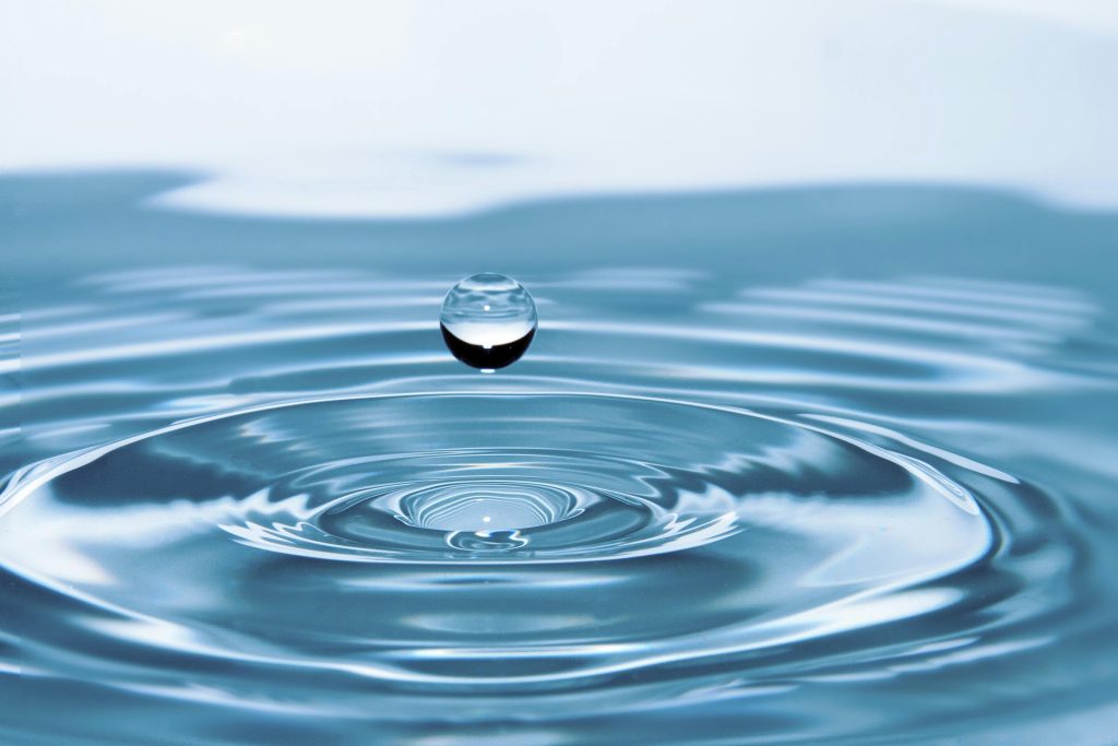
Access to reliable and sustainable water sources is a critical enabler of resilient agriculture and improved nutrition. Adequate
water supply supports crop production, livestock, and household needs, directly influencing livelihoods and community well
being. However, communities in the Lindi and Mtwara Regions continue to face challenges in accessing sufficient and reliable
water due to environmental variability, limited infrastructure, and climate impacts.
To address these challenges and enhance evidence-based planning, the programme intends to commission a Water Survey
Consultancy to map and identify existing water sources in the target project areas. The consultancy will provide detailed data
on the quantity, capacity, and quality of the water sources to inform project implementation and community-level decision
making.
2.0 Objectives of the Assignment
The overall objective of this consultancy is to generate reliable data and knowledge on existing water sources within the Lindi
and Mtwara regions to support evidence-based planning and interventions under the CROPS4HD II Project.
Specific objectives:
• Identify, map, and document a total of 64 existing water sources across the target districts and councils as follows:
o Lindi Municipal Council – 10 sites/villages
o Mtama District Council – 17 sites/villages
o Mtwara District Council – 7 sites/villages
o Masasi District Council – 20 sites/villages
o Nanyumbu District Council – 10 sites/villages
• Assess the functionality, capacity, accessibility, and sustainability of the identified water sources.
• Produce geo-referenced maps showing the distribution and status of all mapped water sources.
• Provide actionable recommendations to guide project planning and community-based interventions for sustainable
water use and management.
3.0 Scope of Work
The consultant/firm will carry out the following tasks:
- Inception Phase
• Review relevant project documents and existing literature on water resources in Lindi and Mtwara regions.
• Develop a detailed survey methodology and tools (including sampling framework, GIS approach, and data collection
instruments) in close consultation with the Local government of Lindi, Mtwara of respective District, RECODA, and
SWISSAID Tanzania. - Data Collection
• Conduct fieldwork to gather primary data on different water sources (rivers, wells, boreholes, springs, dams, etc.).
• Collect secondary data from local government authorities and relevant institutions.
• Engage with community members and key stakeholders to validate information and ensure participatory data collection. - Mapping and Analysis
• Use GIS and remote sensing tools to geo-reference and map all identified water sources.
• Assess each water source’s functionality, seasonality, quality, capacity, and potential for agricultural and domestic use,
and the number of households served/land size.
• Analyze patterns, challenges, and opportunities related to water access, utilization, and sustainability.
• Analyze government plans for water services per respective districts. - Reporting and Validation
• Compile findings into a draft report with maps, tables, and analytical summaries.
• Present findings to RECODA and SAT for review and validation.
• Finalize the report incorporating feedback and provide clear, actionable recommendations for project use. - Emphasis
Priority should be given to areas where the CROPS4HD II Project is being implemented to ensure the outputs directly inform
project interventions.
4.0 Deliverables
The consultant will deliver the following outputs: - Inception Report – outlining the detailed methodology, tools, and work plan.
- Draft Survey Report – including preliminary findings, geo-referenced maps, and initial recommendations (to be shared for
stakeholder inputs). - Final Survey Report – comprehensive document with refined analysis, detailed maps, and actionable recommendations.
- Presentation of Findings – a PowerPoint presentation summarizing key findings for RECODA, SAT, and relevant
stakeholders during the validation workshop.
5.0 Duration and Timeline
The consultancy will be carried out over six (6) weeks, starting on 27th November 2025 and completed no later than 21st
December 2025.
How to Apply: Submit your application electronically to info@recoda.or.tz with subject line: “Application – Consultancy for Water Sources Mapping (CROPS4HD II)”
Download Terms of Reference: [PDF here]
For more information, please contact RECODA at the email address above.